– by Krishna Dev Joshi
Gadhimai Municipality, Rautahat has secured USD 656,000 grant through Nepal’s National Planning Commission for floodplain restoration through agroforestry and livelihood improvement for climate-vulnerable and marginalized communities. The financing is more than a project award, it demonstrates how a municipality can build a bankable public-investment pathway by establishing governance, decision-ready evidence, spatial priorities, safeguards and implementation ownership before seeking finance.
This pathway was catalyzed by the Building Agroforestry-based Adaptation Plans for Resilient Floodplains (BAGAR) Project, implemented in Gadhimai Municipality and Marin Rural Municipality which prioritizes moving from local solutions to systemic change; strengthening community-led and gender-responsive adaptation; connecting evidence with policy; improving climate-finance readiness and scaling Nature-based Solutions through public, concessional and private investment.
From Locally Led Evidence to Investment-Ready Climate Action
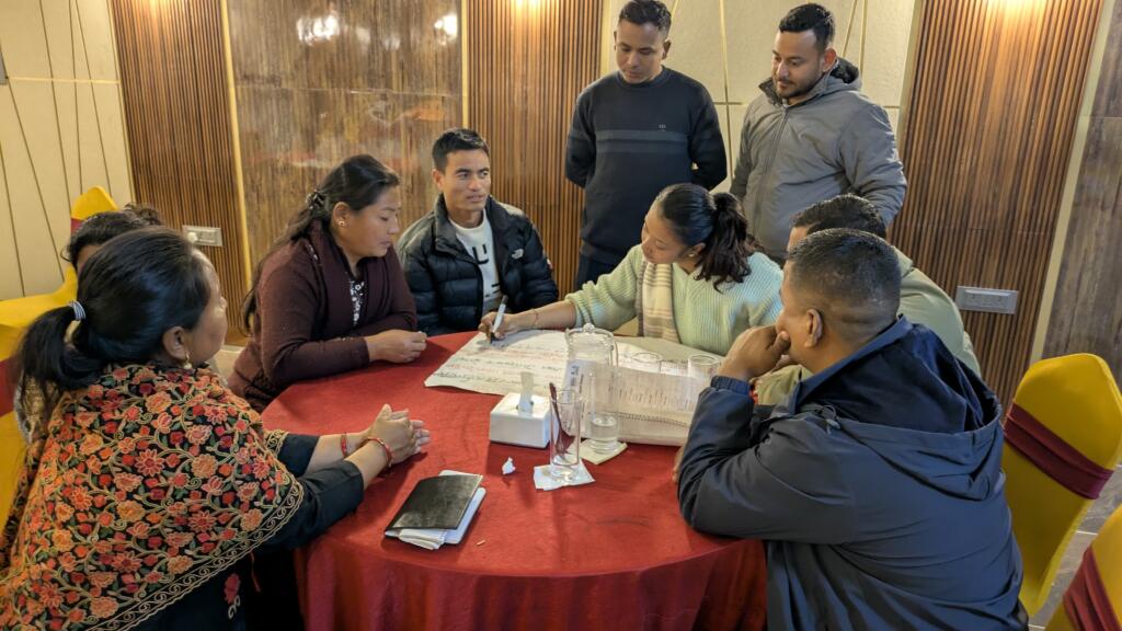
Ward and municipality-level Ecosystem-based Adaptation (EbA) forums created a multi-stakeholder governance platform where municipal officials, farmers, women, young people, community groups and flood-exposed households could identify risks, validate priorities and negotiate solutions. This converted participation into institutional legitimacy and community ownership while bringing scientific, indigenous and local knowledge into municipal decision-making. It also provided a foundation for gender equality, disability and social inclusion (GEDSI), land-tenure considerations and environmental and social safeguards.
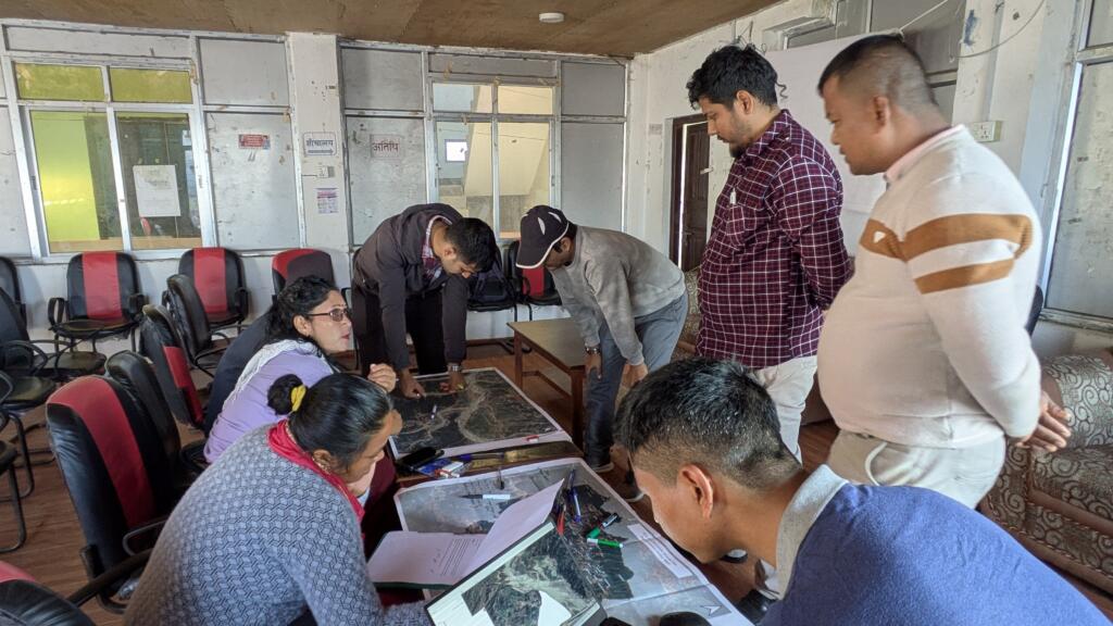
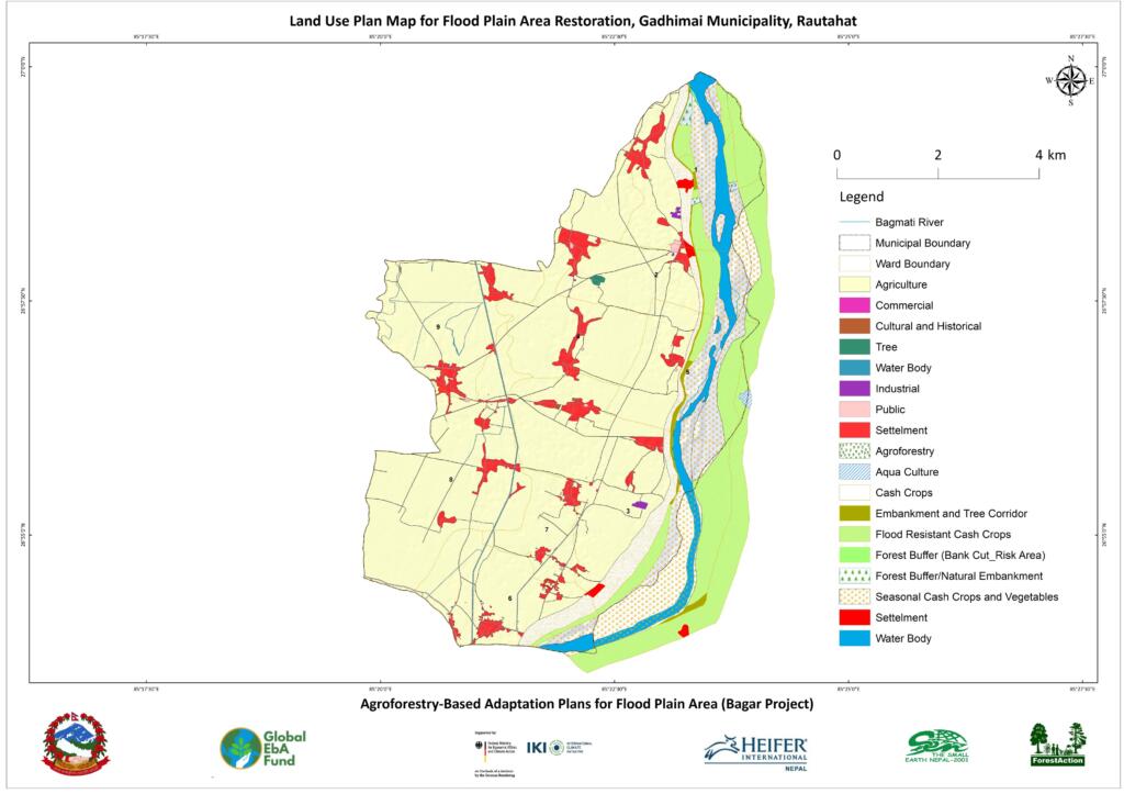
Participatory vulnerability and risk assessment was integrated with hydrological modelling, GIS and remote sensing, land-use trends and hazard, exposure and social-vulnerability data. The resulting spatial decision support identified active river corridors, erosion and waterlogging hotspots, degraded agricultural land, vulnerable settlements, wetlands and priority restoration zones. The municipality-endorsed floodplain land-use and agroforestry plans then matched risk zones with productive, adaptive and protective measures: multi-strata agroforestry, riparian buffers, bioengineering, wetland conservation, soil cover and context-specific livelihood options.
Together, the EbA Forums, spatial evidence, risk-informed land-use planning, costed interventions and municipal endorsement formed an investment-readiness stack. They reduced planning uncertainty and translated the process into an investment-ready government-owned program.
Advancing Integrated Land, Water and Livelihood Resilience
This demonstrates how catalytic adaptation finance can generate systemic change by converting community knowledge, inclusive governance and scientific evidence into an investment-ready restoration program. Ward- and municipality-level EbA Forums, participatory risk assessments, hydrological modelling, GIS-based floodplain zoning and municipality endorsed land-use and agroforestry plans established the institutional ownership and technical credibility needed to unlock the public investment. This pathway strengthens locally led and gender-responsive adaptation while creating opportunities to combine municipal and federal resources with concessional finance, cooperatives, responsible agri-businesses, inclusive value chains and ecosystem service financing.
The proposed agroforestry measures connect flood-risk reduction with drought resilience, water security, soil health, biodiversity and resilient food systems. These interventions can reduce erosion and runoff, improve infiltration, groundwater recharge and soil-moisture retention, restore ecosystem services and diversify food, fodder and household income. By placing smallholder farmers especially women, young people, marginalized households and other local land stewards at the centre of planning and implementation, it also advances equitable, rights-based restoration. Spatial monitoring, reporting and verification of restored land, land productivity, soil organic carbon, water regulation and livelihood benefits can further support Land Degradation Neutrality, SDG 15.3, adaptive management and measurable landscape-scale outcomes.
From Catalytic Finance to a Scalable Restoration Economy
The USD 656 thousand grant will now convert the endorsed plans into measurable landscape-scale outcomes. A spatial monitoring, reporting and verification (MRV) system can track restored hectares, vegetation and habitat connectivity, land productivity, soil organic carbon, water retention, livelihood benefits and participation by women and marginalized groups. Remote sensing, field measurements and community monitoring should feed adaptive management, transparent reporting and evidence-to-policy learning through the Science-Policy Interface.
Gadhimai’s lesson is clear: bankability in Ecosystem-based Adaptation is created when ecological integrity, credible risk evidence, local ownership, safeguards, costed solutions, accountable institutions and measurable benefits come together. BAGAR therefore offers a replicable model for integrated landscape management and a restoration economy that aligns climate adaptation, biodiversity, disaster-risk reduction and sustainable development- advancing Rio Convention synergies, policy coherence and investment coherence from the floodplain to UNCCD COP17.